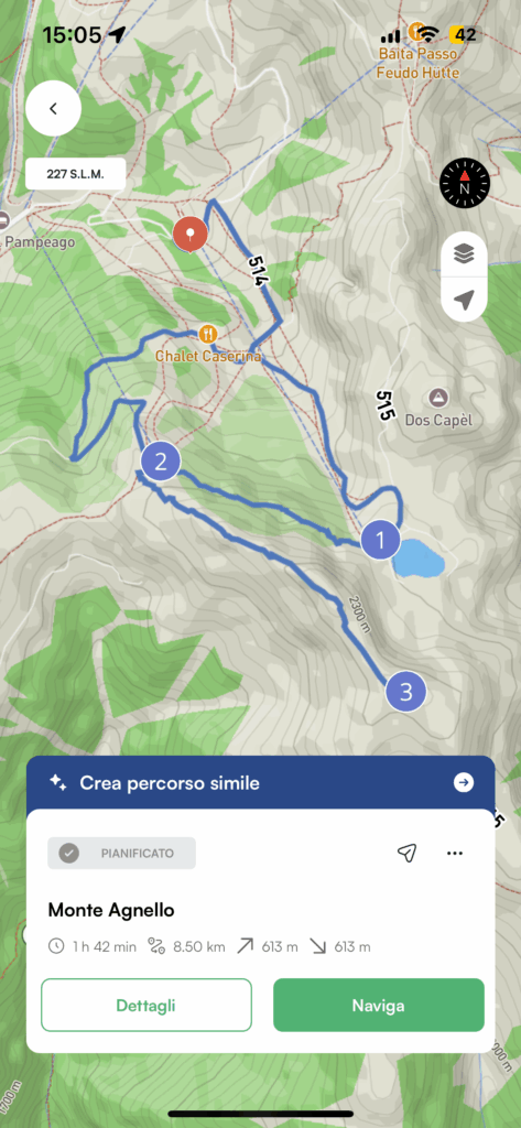
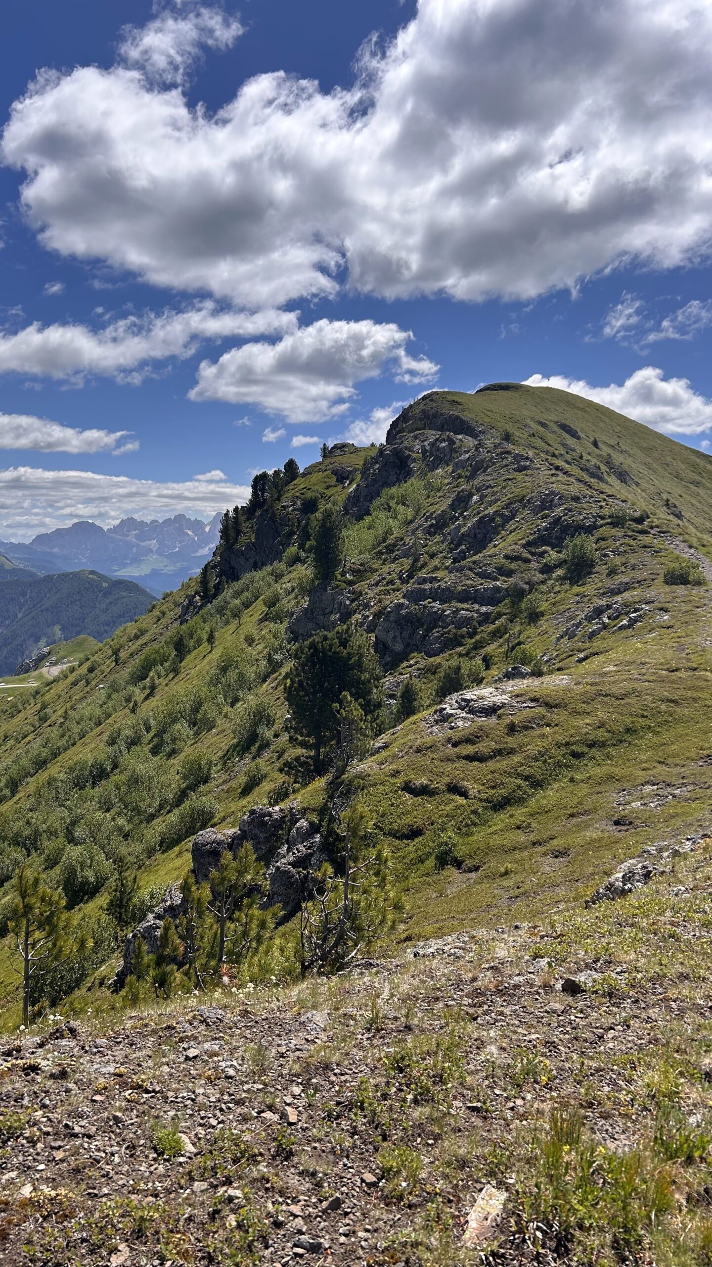
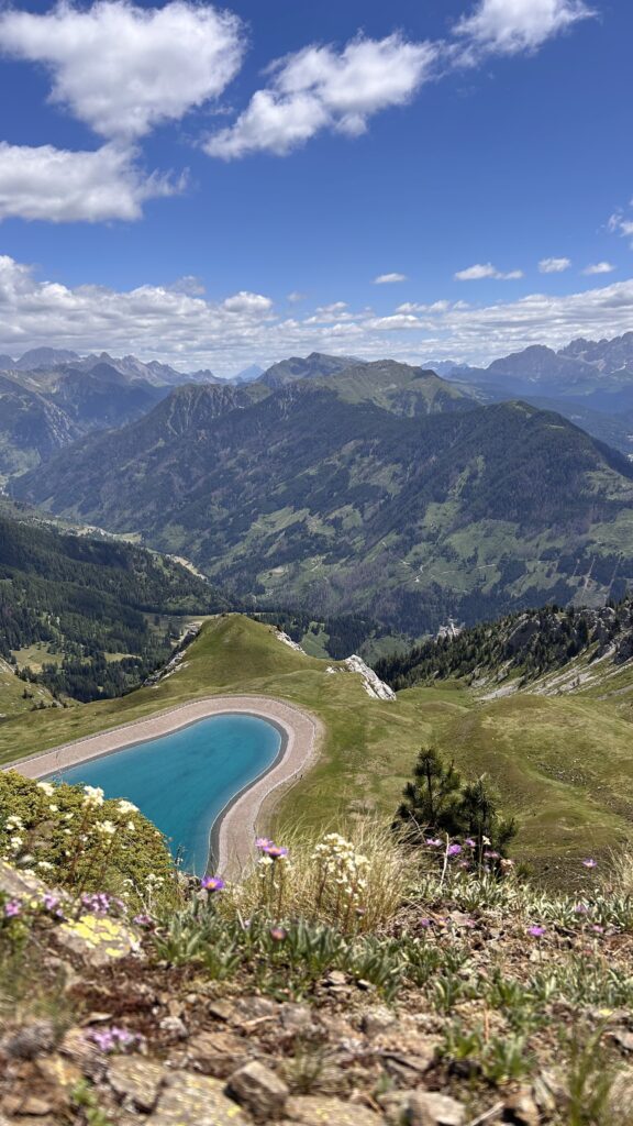
We tried it ourselves and met no more than 20 people on this hike to Monte Agnello, in Val di Fiemme (Trentino-Alto Adige).
Informazioni sul trekking
| 📍Departure | parking lot Tresca (Pampeago) |
| ⛰️ Arrival | Monte Agnello |
| ⏱️ Est Time | 2 hours |
| 📏 Lenght | 8.5 km |
| 〽️ Elevation gain | 615 m |
| 👣 Difficulty | Easy |
Route directions
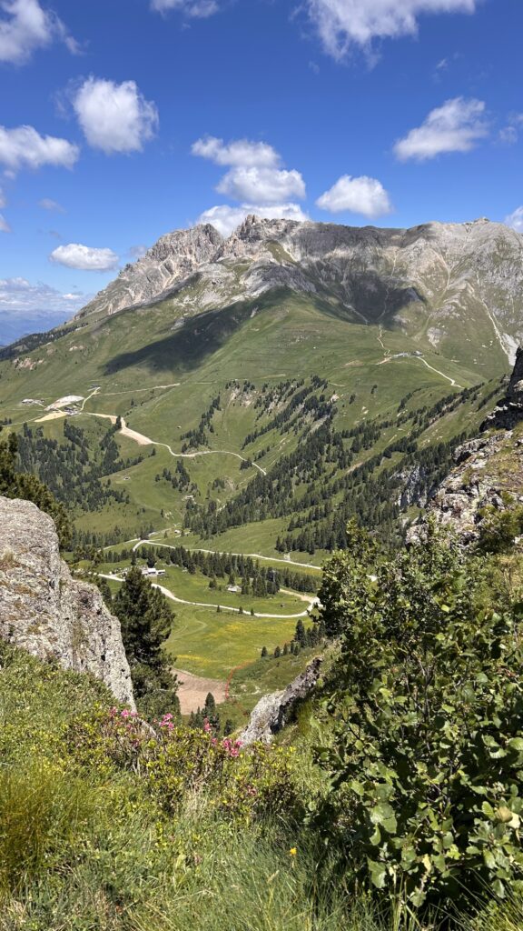
The hike starts from the free Tresca parking area, just above the Pampeago ski lifts.
Most of the elevation gain is tackled right away, leading up to the In.Treska restaurant.
From there, the trail levels out: you’ll follow the mountainside all the way to Rifugio Monte Agnello.
Almost there! One final short push, and you’ll reach the summit of Monte Agnello in about 20 minutes.
With the Mountain Maps app, you can follow the route even without an internet connection and discover points of interest along the way.
Whether it’s your first adventure or you’re a seasoned mountain explorer, this hike offers the perfect mix of nature, history, and beauty.
Download the app, lace up your boots, and let yourself be guided!