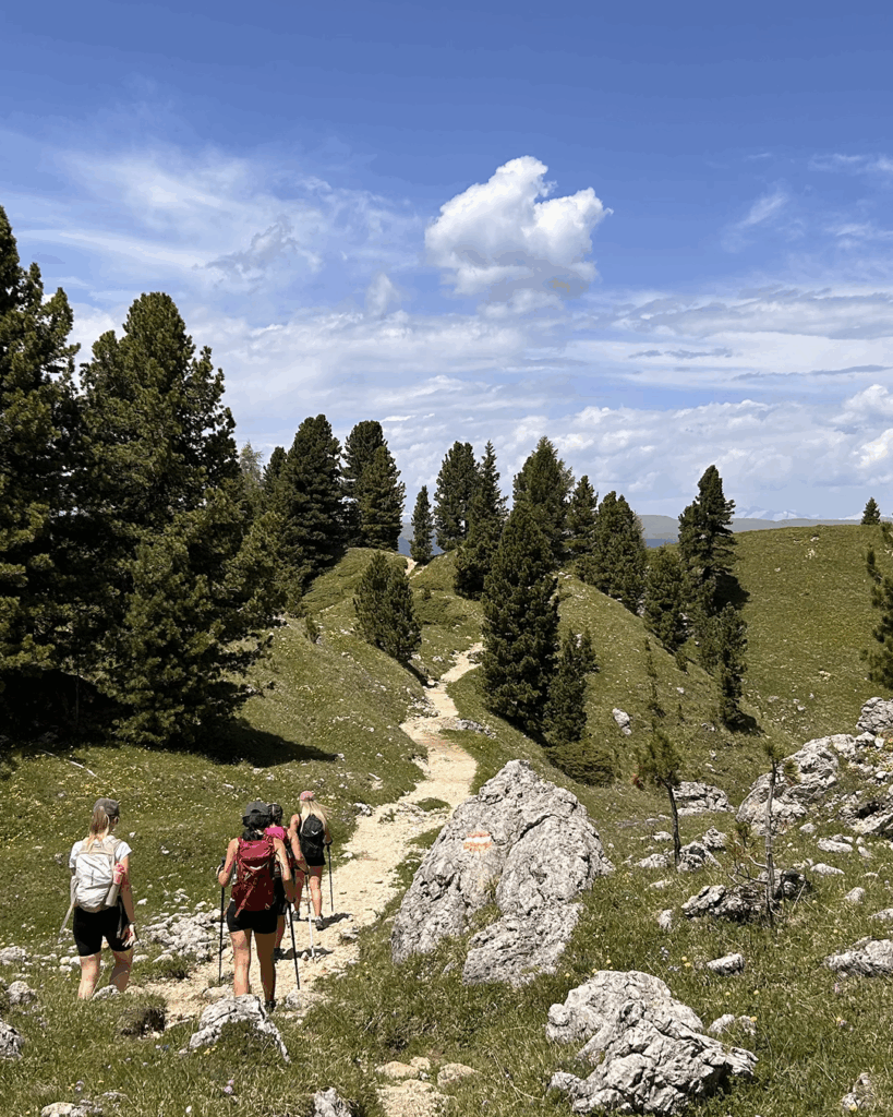
The Sassolungo and Sassopiatto loop trail is one of the most spectacular treks in the Dolomites.
A loop itinerary that takes you walking all around these two rocky icons, past scenic mountain huts, silent forests and landscapes that look like paintings.
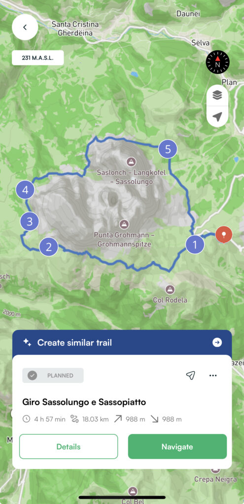
Trekking information
| 📍Loop trail | departure at Sella Pass |
| ⏱️ Estimated time | 5 hours |
| 📏 Lenght | 18 km |
| 〽️ Elevation gain | 988 m |
| 👣 Difficulty | Medium |
Where the Sassolungo and Sassopiatto are located
We are in the heart of the Val Gardena Dolomites, between the Sella Pass, the Sassopiatto hut and the Comici hut. The entire tour is a scenic loop of about 17 km, which can be done in a day, but can be modulated depending on your fitness or desire to stop at the huts.
Main stops
Here are the main stages of the Sassolungo and Sassopiatto loop tour:
- Sella Pass – convenient and scenic starting point
- Friedrich August Hut – perfect for enjoying a krapfen at 2,300m
- Sassopiatto Hut – great stop for lunch
- Vicenza Hut – optional stop, takes you slightly away from the loop trail
Directions of the route
You start from Passo Sella, where you leave your car in the paid parking lot (20€ per day). You can also reach the starting point by public transport: from Val Gardena there is line 471, from Val Badia line 473.
Start the tour by passing the Salei and Friedrich August Refuge, famous for its delicious krapfen.
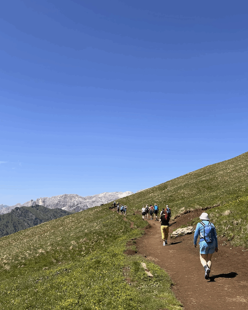
Continue to Rifugio Sassopiatto along a path that runs along the mountainside, exposed to the sun and flat.
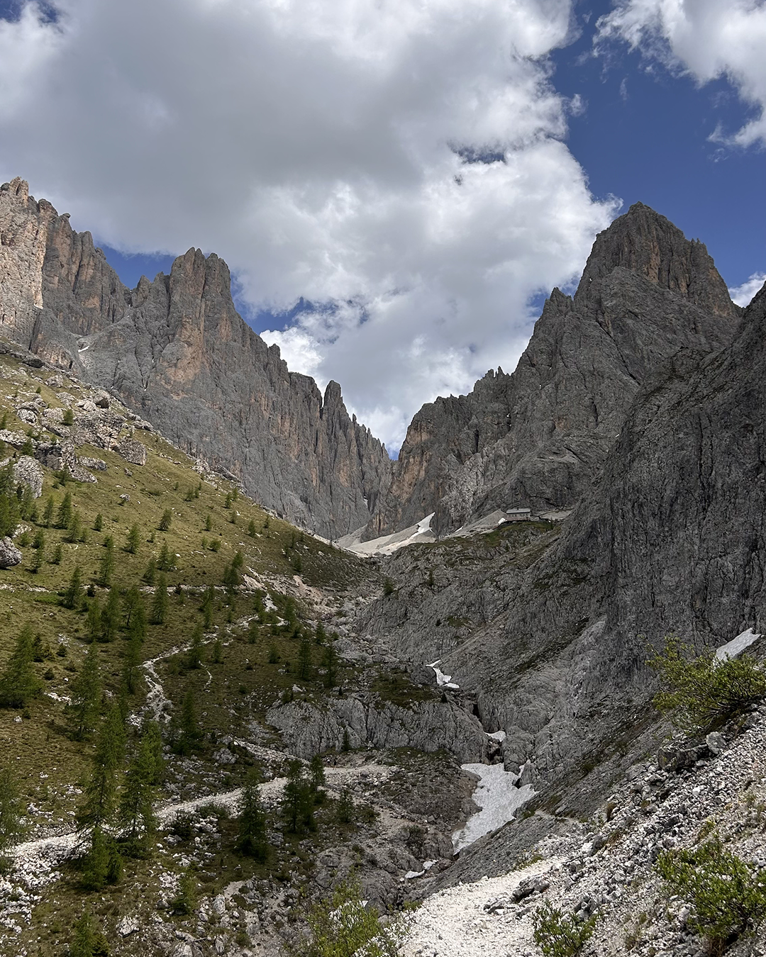
After a break at the Sassopiatto Refuge, continue downhill through small clearings and groves. You then pick up elevation among the boulders until you reach the foot of Rifugio Vicenza, which you will only see in the distance. You can take a small detour and climb up to there, but it is recommended only for trained people.
After skirting the entire face of the mountain, if it rises above you, you will reach Rifugio Comici.
Your tour of Sassolungo and Sassopiatto is almost complete: another 30 minutes of walking and you will reach the parking lot.
With the Mountain Maps app, you can follow the route even without a connection and discover points of interest along the way.
Whether you are on your first adventure or an expert in the Dolomites, this hike is the right mix of nature, history and beauty. Download the app, get your boots ready, and let it guide you to one of the pearls of the Dolomites!