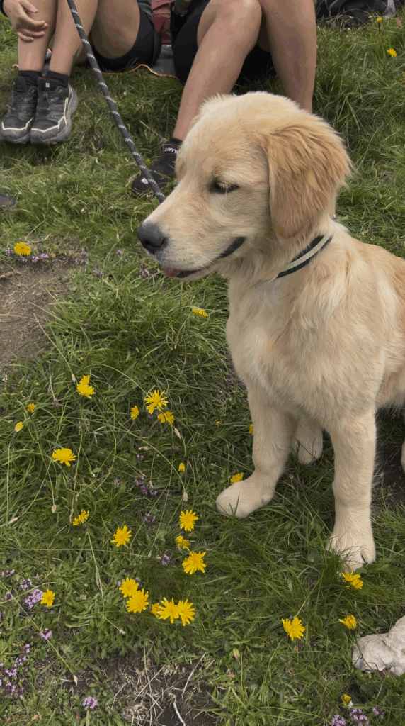
Looking for a hike to do with your dog? Here’s one on Monte Castellazzo (Pale di San Martino), between Val di Fiemme and Primiero, which will take you to an easy summit.
Trekking information
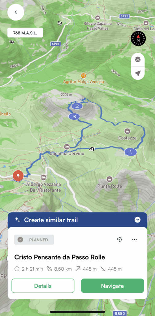
| 📍 Departure | parking lot Passo Rolle |
| ⛰️ Arrival | Cristo Pensante (2.333 m) |
| ⏱️ Est Time | 2:20 ore |
| 📏 Lenght | 8.5 km |
| 〽️ Elevation gain | 445 m |
| 👣 Difficulty | Easy |
.
Main stages of the loop tour to the Cristo Pensante
Here are the main stops along the Cristo Pensante trail:
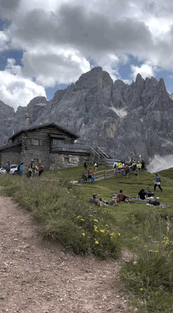
- Rifugio Segantini, with its iconic alpine lake
- Cristo Pensante, a statue created by sculptor Paolo Lauton, alongside a cross by Pierpaolo Dellantonio, both artists from Predazzo
- Capanna Cervino, which you’ll pass on the way back, just before reaching the parking area
Trail information
The adventure begins at Passo Rolle, where you’ll find a free parking area (though it’s often busy). To enjoy the hike with fewer crowds, we recommend arriving early in the morning.
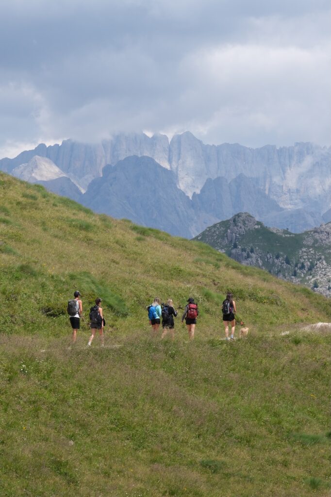
The trail to Baita Segantini is an easy walk, also suitable for dogs. The path is wide, well-marked, and free of exposed sections. In front of you, the iconic little lake mirrors the Pale di San Martino, a breathtaking sight.
Skirting the slopes of Monte Costazza, the trail flattens out for a while. After about 20 minutes, the real climb begins toward Monte Castellazzo: the terrain becomes a bit rockier, but it’s still manageable, even for mountain-savvy dogs. A snug harness and some water in your backpack are all you’ll need.
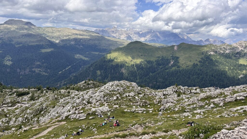
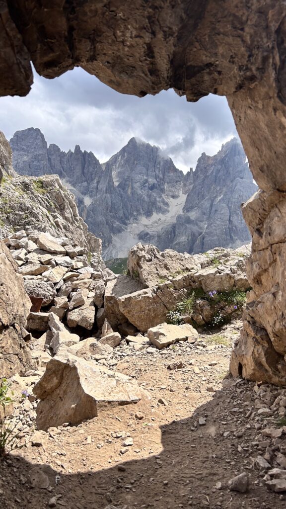
At the summit, you’ll find the Cristo Pensante, a silent statue that invites reflection. Nearby, a cross, remnants of the Great War, and wide alpine meadows offer the perfect spot to relax and recharge. Even your dog will find their moment of peace.
For the return, you have two options: retrace your steps (a safer choice if your dog is tired), or take a slightly rockier alternative path that’s still safe and enjoyable. Both routes lead to Capanna Cervino, ideal for a final break before heading back to the parking area.
With the Mountain Maps app, you can follow the trail even offline and discover points of interest along the way.
Whether it’s your first mountain outing or you’re an experienced hiker, this route offers the perfect mix of nature, history, and beauty.
Download the app, lace up your boots, and let the mountains guide you!